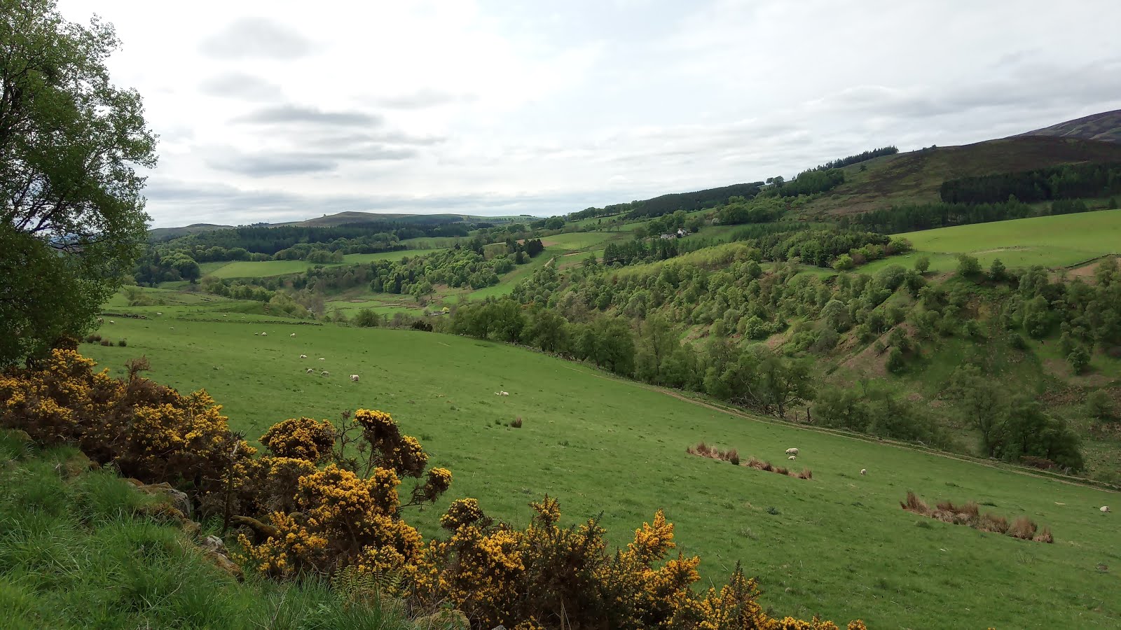
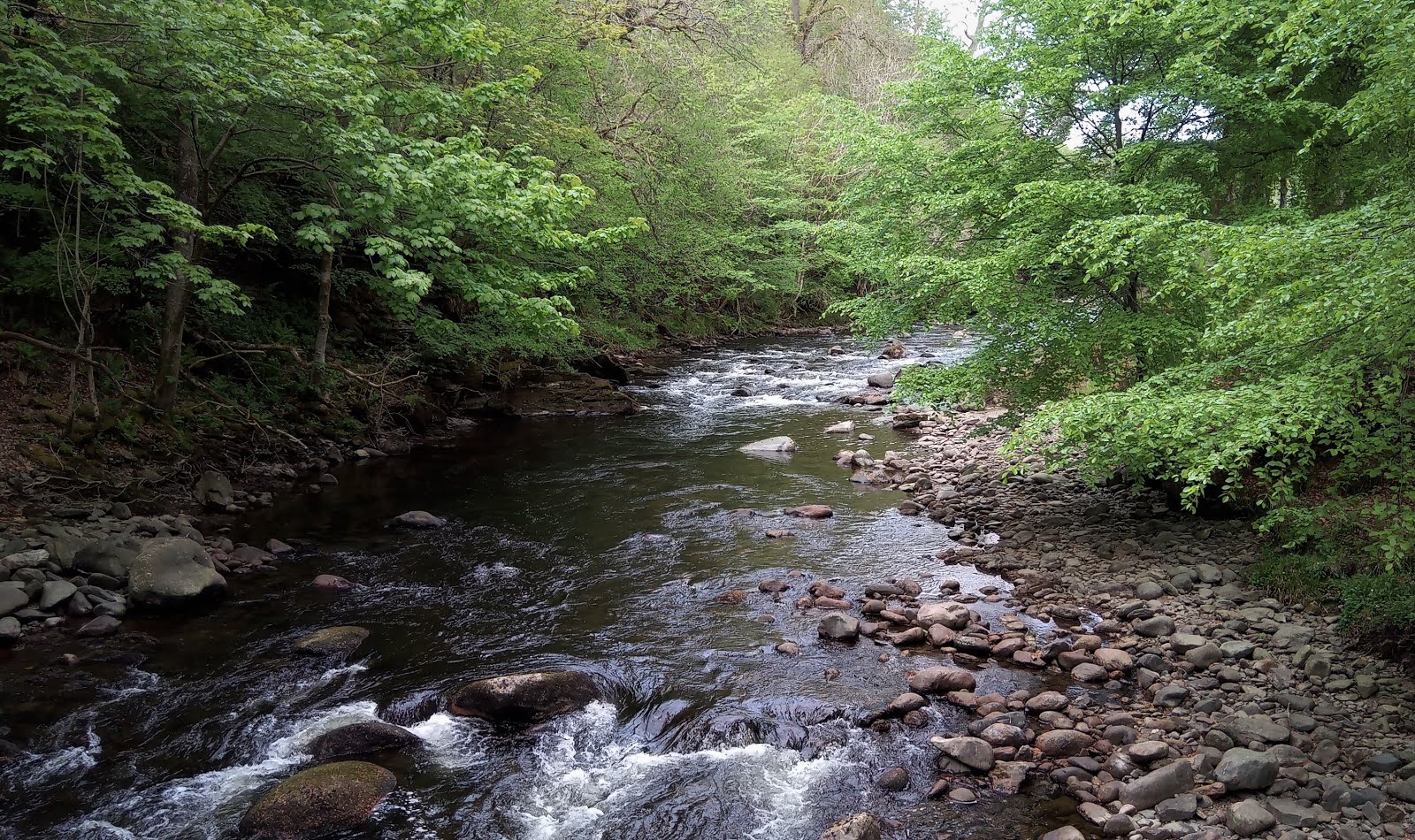
Here's a handy index to sift out the TGO Challenge posts from the rest of the blog. It pulls together all the posts for our 2018 TGO Challenge, from team selection, through thinking about the bones of the route to the route itself and our route sheet. And, of course, my take on our walk.
You can click on each post - they're in chronological order - and the corresponding blog post will open in a new window.
Mad'n'Bad has also written up our walk and his take can be found by clicking HERE.Andy's doesn't have an index, so at the end of each of his posts you need to click on 'Newer Post' at the very bottom of the page, beneath the comments to go to the next episode. Do read it; it helps his with healing process.
*****
It's taken me quite a while to get all 2018's posts put together and it's been fun. I hope you enjoy it as well.
If you're thinking of applying for the TGO Challenge for the first time and you have any questions you'd like to ask please feel free to get in touch. You can get hold of me by using the Contact Form at the bottom of this blog's right hand column. I'm always glad to help.
The TGO Challenge isn't over when you walk into the North Sea. First, there's the cafe or pub to visit and then you need to travel to Challenge Control - The Park Hotel in Montrose - to sign the Finishers' Register. If you finish on a Thursday there's the Thursday Dinner at the Park Hotel. If you reach Montrose on the Wednesday or Friday there are smaller dinners organised in the hotel's restaurant.
I've mentioned a few times how the modern Ordnance Survey maps can bear little relation to the paths and tracks actually on the ground. Because of this, when I designed our route for this walk I always took a look at the satellite pictures made available by the mapping software I used - RouteBuddy. Using these I discovered the wonderful route around to Corrour Station, the lovely substantial grassy track in the afternoon after Blair Atholl, and now this morning's walk.
If you're using RouteBuddy or for that matter any software that offers aerial views, I would urge you to do the same.
Because we're spending the night indoors today's route is not too long which gives us plenty of time to luxuriate in the first available pub and time enough to get the washing of smelly clothes and bodies done in time for nipping out for some decent food that hasn't been freeze-dried. Today is just 13 miles with very little up and downs. A doddle.
CLICK TO ENLARGE
CLICK TO ENLARGE
Here's a question I hope someone in the congregation can answer:
Have a look at the next three pictures. What the flying fuck is this about? There were half a dozen birds hung on barbed wire, neatly presented in a row. What sort of sick bastard thinks that this is okay? Just. Why?
Is there a problem with corvids in these parts? If there is a problem, why is it necessary to string the poor creatures up? Frankly, it's abhorrent behaviour. Am I missing something here? Perhaps someone from the Angus glens can tell me why this happens. This is not the first time I've seen this in Angus. I've never seen it anywhere else in Britain.
A MURDER OF CROWS...CLICK TO ENLARGE
CLICK TO ENLARGE
CLICK TO ENLARGE
Apart from the bloody massacres, it's delightful countryside walking in these parts. The hills are now gentler, there are wonderful deciduous trees in new leaf and what remains of the birdsong is delightful.
CLICK TO ENLARGE
We stop for a break at Fern. It was an unexpected delight on two fronts. The first was not immediately apparent from the 1:50k OS map, but when you take a look at the 1:25k you'll notice that Fern Church is situated in a delightful natural amphitheatre, Fern Den. It's wonderfully sheltered from the westerlies and is a haven of tranquility. The church is built on what appears to be a raised platform within the Dell, and beneath are snuggled lovely red rubblestone cottages.
FERN
It was while we were having Elevenses on the bench in the churchyard that we encountered our second Fern Delight:
A very elderly couple arrived in the churchyard and very slowly and carefully made their way to one of the well tended graves. After they had laid a lovely bouquet of flowers we fell into talking with them.
The elderly lady recounted how this was the last time they would be laying their flowers as they both now found it a real struggle. She had been born in Fern, in one of the farms below the church. She had moved away to Perth (if I recall correctly) quite a long time ago. Until he died, the lady's father had lain the flowers every year on his own father's grave. When he was no longer able to perform this act of remembrance he had elicited a promise from his daughter that she would continue to do this for him after his death. Today was the one hundredth anniversary of her Grandfather's passing, and it was to be the last time flowers were to be left. She had not missed a single year since her father's passing.
To say we were touched by this story is an understatement. Even now, almost two years later as I write this, I remember this moment with affection. They were a lovely couple.
CLICK TO ENLARGE
TIME PASSES
TENSION POST
I'm sure you've all noticed these iron posts at the roadside. They are becoming fewer in number these days as they fall and are consumed by the earth. Modern fencing techniques have made them redundant.
GENTLEMAN OF THE ROAD
It's not often that I promote accommodation on the blog, but I'm happy to make an exception today. After spending some time in the first pub we came to in Brechin for some rehydration we strolled to our B&B for the night. It was chosen purely because it was *just* north of Northing 60. From the outside, if I'm honest, it didn't look that prepossessing. Inside, however it was delightful. Our hosts were wonderful, and well used to sweaty travellers as they welcome cyclists to their home on a regular basis.
It is warm, comfortable, the beds are lovely and the linen crisp and fresh. The showers are hot and copious, the breakfast gorgeous. Highly recommended!
DAY FOURTEEN
Today is a short dash of ten miles or so to the coast. But first, we have to be extraordinarily careful not to cross the 60th parallel!
BRECHIN, NORTHING 60
As you can see, we survived. We think we were just twenty metres away from the edge of doom.
Just before Langley Park we stop for a little Elevenses. Unusually, this isn't to be our normal feast, as we have Charleton Fruit Farm and the Challenge Dinner to look forward to later. We also need to have a jolly good scrute of the maps, as the next little section has always promised to be tricky.
LORD ELPUS SCRUTINISING THE PAPER MAP
BLOWING UP THE 1:25K MAP ON THE PHONE
JUST HAPPY. NOT A MAP IN SIGHT.
For our walk to the coast I had abandoned my Fjallraven walking tights in favour of the more sartorial secure Mountain Equipment very tough walking trousers. In the circumstances this proves to be an excellent choice. Phil and Andy are wearing their normal summer strides...
The route shown quite clearly on the OS 1:50k and I:25k maps simply no longer exists in real life. Our first hurdle is an incredibly rotten wooden bridge over a broad ditch and then a clamber over a very rotten wooden gate into the biggest sea of nettles I've ever seen in my life. We follow, very carefully, the exact route of the non-existent track with nettles mostly chest high and occasionally head high. I lead the way and I can feel the nettle stings through my very tough trousers. Behind, the pitiful screams are almost unbearable as flimsy summer trews are no defence against the vicious nettles. We cannot see the ground beneath our feet as it is totally obscured by the jungle of nettles, and so we pitch forward alarmingly at times getting a faceful of nettles.
Langley Park is an odd place. Parts still look lived in but the air of decay is all pervading.
Eventually we are within touching distance of the coast. We decide to go straight to the sea and then enjoy the delights of the Charleton Fruit Farm for strawberry tarts and coffee afterwards. All of a sudden, we're amongst more Challengers than we've seen for our entire trip across Scotland.
TWO WONDERFUL BASTARDS, THE DUNES AND THE NORTH SEA
JANET
BARBARA AND MAGGIE
ANDY AND ME
PHIL AND ME, THE NORTH SEA AND A BOAT
How do I sum up our walk from coast to coast this year?
At the outset, it seemed like a wonderful prank to set ourselves the confines of a ten kilometre corridor, to see if it was a realistic task. Well, patently, it is.
However, there are downsides. We were well aware that we were missing out the glorious coastline of North Ardnamurchan, one of the most achingly beautiful coasts in Scotland. We also had to miss the annual gathering at Lochcallater Lodge. That's a huge disappointment, and one that we'll be putting right in this coming year's crossing. Being so far south, the final few days involved a fair amount of road walking in countryside that Andy found less than inspiring, and in truth both Phil and I also felt the loss, however pretty the countryside and beautiful the birdsong. It's also a walk where you'll be unlikely to meet too many Challengers after Blair Atholl. I wouldn't say it's an ideal walk for a first-timer, when meeting fellow strugglers can be the difference between carrying on or retiring from the event.
The upsides, on the other hand were unexpected and quite wonderful, culminating in the wonderful walk on Day Seven. It has to have been one of my very best hill days in Scotland. The views were top draw, the hills rough and shaggy with a genuine feel of the wild. It's probably not a walk I would have planned on a normal Challenge crossing.
Would we do something similar again? Quite possibly!
No walk is the same without excellent company. Phil and Andy were bloody splendid, once again. Thank you, both of you.
*****
I hope you've enjoyed following us across on our walk. Thank you for staying with us.
It's twelve miles today with around two and a half thousand feet of climbing, so nothing to frighten the horses. However, we're heading into the hills again, which is a tricky thing to do if we keep between our northings as we nearing the Angus Glens now which spread out like a fan away from the Cairngorm National Park to the Angus coastline. Today involves crossing Glens Isla and Finlet to make Upper Glen Prosen to camp for the night.
CLICK TO ENLARGE
A quick look at the map shows the absurdity of today's route: Upon reaching Craig Lair the sane thing to do would be to follow Glen Finlet's watershed around Mid Hill, Tarmach Hill, Broom Hill and Craigie Thieves. But this of course broaches Northing 70, and so instead we have to descend the side of Glen Finlet and then climb back up the other side to make Craigie Thieves.
What comes as a genuine surprise is that there is not a single murmur of protest from either Lord Elpus or Mad'n'Bad! I put this down to Mad'n'Bad's unwillingness to map read and Lord Elpus being a damn good sport.
CLICK TO ENLARGE
We leave the Christian Centre resplendent in our freshly laundered socks, shreddies and shirts, ready to take on the world. The forecast is fine for the morning, with a freshening breeze bringing heavier cloud later on in the day. The paths are a little confusing to begin with, accompanied by quite a few cows and calves. Then it's open country, if rather squelchy underfoot on the gentle climb up to Loch Beanie.
A SQUELCHY TROD UP TO LOCH BEANIE
LOCH BEANIE
We have Elevenses in the shelter of the boat house before Andy gets fidgety and wants to move on. Phl and I are quite happy to spend an hour here as there's no rush today. However, the psychological pressure from Andy builds and eventually we cave in and repack our food bags into our packs and slowly splodge away from this little haven to squelch along the shore of the loch. It's actually easier to paddle in the shallow waters than to walk through the boggy shoreline, which has the added advantage of cleaning the build up of mud from earlier.
So (And yes, Mr Williams, I've started a sentence with 'So' - If it's good enough for E. J. Thribb, it's good enough for me) where was I... Ah yes. So, we leave Loch Beanie and head on over to Glen Beanie. the upper reaches quite splendid with excellent wild-camping spots. Quite why Loch Beanie is not in Glen Beanie, I'm not sure. Answers on a postcard, please.
HARVEST TIME
Then we head due north until we come across this lovely little bridge over the River Isla. It appears to be of segmental construction. I suspect it was an Assault Bridge in a former life. I don't recall seeing any others in these parts. Does anyone have any information on them? Leave a comment, there's a darling!
ASSAULT BRIDGE? CLICK TO ENLARGE
What's marked on the map as a footpath climbing up to Craig Lair is of course another ugly scar on the landscape - a bulldozed track for shooters to kill wildlife for fun. It's a bit depressing. Andy waits on the skyline for the tortoises to catch up. He takes the snap below which, when blown up shows how we're struggling manfully to keep up.
LOOKING SOUTHWEST INTO GLEN ISLA
It's a bit nippy on Craig Lair and so we drop down the western tributary of the Finlet Burn for some shelter and an afternoon snack. Following the burn down we get parlously close to Northing 70 but confident we're remaining within bounds. It's a lovely soft stroll down to the valley bottom.
FINLET BURN
It's a bit of a sweaty grunt from Gen Finlet up through the brash of the old forest and the new plantings to the fellside and so Phil and I take a long diagonal up to the small drop in the ridge whilst Andy take the hill head-on and straight up. I'm sure the bastard has nuclear powered trousers. Andy took the following picture; you might just make out two tiny specs making their way laboriously up the hill, in the centre of the picture.
LOOKING INTO GLEN FINLET
I took the next picture; it's on one of the rare occasions when I'm ahead of Phil. He must have had a gear faff, or re-tied his laces.
When we finally make the ridgeline we're confronted with a double width electric fence, with no sign in either direction of any gate or stile. The estate owners are obviously complete and utter bastards.
DOUBLE WIDTH ELECTRIC FENCES, GREEN BRAE
Andy will probably use stronger language to describe the oafs. He took an almighty kick from the first fence's top strand, as you can see below:
ANDY'S ARM
After some limbo dancing and hauling heavy packs up and over the beasts we make our way around to Craigie Thieves for a sit down and snack.
VIEW ACROSS GLEN PROSEN TO HUNT HILL & DRIESH
VIEW DOWN GLEN PROSEN
It's a merry tumble down the (cut-down) forestry fenceline to Prosen Water. By the time Phil and I make the bottom Andy has already skipped across the stream's boulders and waits patiently to guide Phil and I across. Of course, neither of us fancy the leap of faith mid-stream, that if unsuccessful would have us up to our oxters in water. After an eternity of faffing we both decide to walk up to the bridge instead and walk back down to rejoin our own Bob Beamon.
Andy then decides he doesn't fancy any of the available pitches and so disappears down the glen to look for better. At this point, Phil and I find semi-reasonable spots on our side of the stream and so decide that they'll do for the night. There's no sign of our Scarlet Pimpernel so we shrug and make camp.
IF YOU SQUINT YOU CAN MAKE OUT PHIL'S & MY TENTS ON THE OTHER SIDE OF THE GLEN
DAY TWELVE
Today's route is fairly straightforward - a seventeen mile yomp, down Glen Prosen to the memorial to Scott's doomed South Pole Adventure and then a wiggle through Glen Clova to head into the hills again for a wild camp in a lovely little glen.
CLICK TO ENLARGE
CLICK TO ENLARGE
I really don't mind the occasional stroll down a road, which is probably just as well as this year's route required a fair bit of it. You need to have prepared for it and look for delights other than the wild quality of the place. The roadside flowers and birdsong are my favourites. How the farmers are using the land, the stands of trees and the architecture and building materials of the homes nestling amongst the glen.There's all manner of things to charm, and lets be honest, it's infinitely preferable to your nine to five humdrum life.
I'll happily bowl along all day like this, with the skull cinema replaying old favourites.
Andy, however, is not a fan. To put it mildly.
GLEN PROSEN
LUNCHTIME VIEWS
TWO BRITISH TITANS. THERE'S ALSO SCOTT, IN PROFILE.
We find a lovely little shortcut to the bridge across the River South Esk (take a peek at the annotated map)
RIVER SOUTH ESK. QUIETLY BEAUTIFUL.
The afternoon is spent wiggling through little glens on paths that are barely here, and in some cases, not in evidence at all for stretches at a time. Had we not set ourselves the ridiculous ten kilometre constraint we could quite possibly never have discovered these little gems.
Our camp spot is just about perfect. Sheep nibbled turf, a babbling clear stream for water, and solitude.
On paper, it didn't look to be a great day in store but if you're prepared to take your delights from whichever way they come it's a delightful day.
EDIT:
We have a pretty clued up readership here. Many thank to Phil Holden for letting me know that it's the box bridge designed to be carried by the Churchill ARC (Armoured Ramp Carrier). Designed for the D Day landings in World War II to bridge tank traps, ditches and sea walls etc. It was part of Hobart's 79th Armoured Division. This means that at the time we crossed it, the bridge was 73 years old. Not bad for a temporary structure!
You learn things here!
****
I'm currently into Chopin, so that's today's music. Blissful.